
Monday, March 17, 2014
Mappy Monday: 1799 Clement Cruttwell Map of Ireland
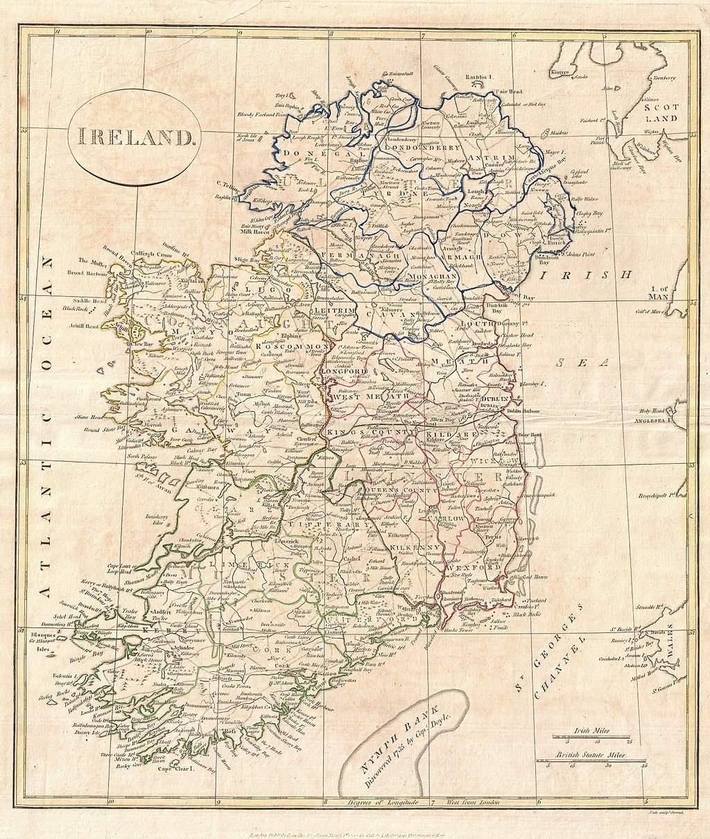
In honor of St. Patrick's Day, I am posting this 1799 map of Ireland, drawn by G. G. and J. Robinson of Paternoster Row, London, for Clement Cruttwell's 1799 Atlas to Cruttwell's Gazetteer.
G. G. and J. Robinson, Paternoster Row, London, for Clement Cruttwell's 1799 Atlas to Cruttwell's Gazetteer. By http://www.geographicus.com/mm5/cartographers/cruttwell.txt [Public domain]. Available from Wikimedia Commons.
Subscribe to:
Post Comments (Atom)
No comments:
Post a Comment