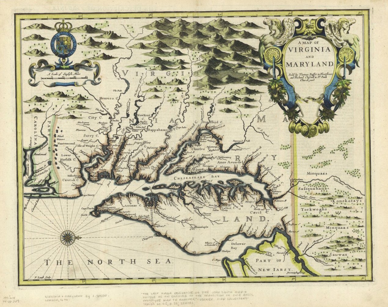
A Map of Virginia and Maryland. Francis Lamb. The Theatre of
the Empire of Great Britain, 1676. Huntingfield Collection, MSA SC
1399-1-197. Image from the Maryland State Archives, Charts and Maps Used by the Early Settlers of Maryland.
This map, which has been made available by the Maryland State Archives, depicts colonial Virginia and Maryland during the 1600s. Some of my ancestors lived in Maryland and Virginia during this time period.


No comments:
Post a Comment